Welcome to the Virtual Education Wiki ~ Open Education Wiki
File:South-Africa-map.png
Jump to navigation
Jump to search
No higher resolution available.
South-Africa-map.png (329 × 353 pixels, file size: 11 KB, MIME type: image/png)
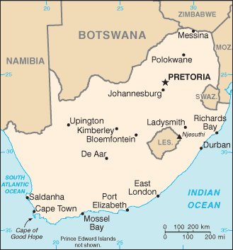
This is a map of South Africa, originally on Wikipedia [1], where it's listed as a "map of the CIA".
![[1]](http://en.wikipedia.org/wiki/Image:Sf-map.png)
File history
Click on a date/time to view the file as it appeared at that time.
| Date/Time | Thumbnail | Dimensions | User | Comment | |
|---|---|---|---|---|---|
| current | 08:54, 19 August 2008 | | 329 × 353 (11 KB) | NikkiCortoos (talk | contribs) | This is a map of South Africa, originally on Wikipedia [http://en.wikipedia.org/wiki/Image:Sf-map.png], where it's listed as a "map of the CIA". |
You cannot overwrite this file.
File usage
The following page uses this file: